Feature Design | Clinic Search Interactive Map
CenterWell had a limitation with their clinic search function. When searching for a clinic, the results were listed in order of distance. The issue was, the distance was deceiving. Instead of measuring precise location, it was measured based on the middle of the ZIP code that was used to search. CenterWell wanted a way to show more accurate information to their users.
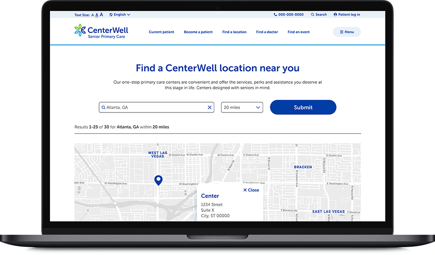

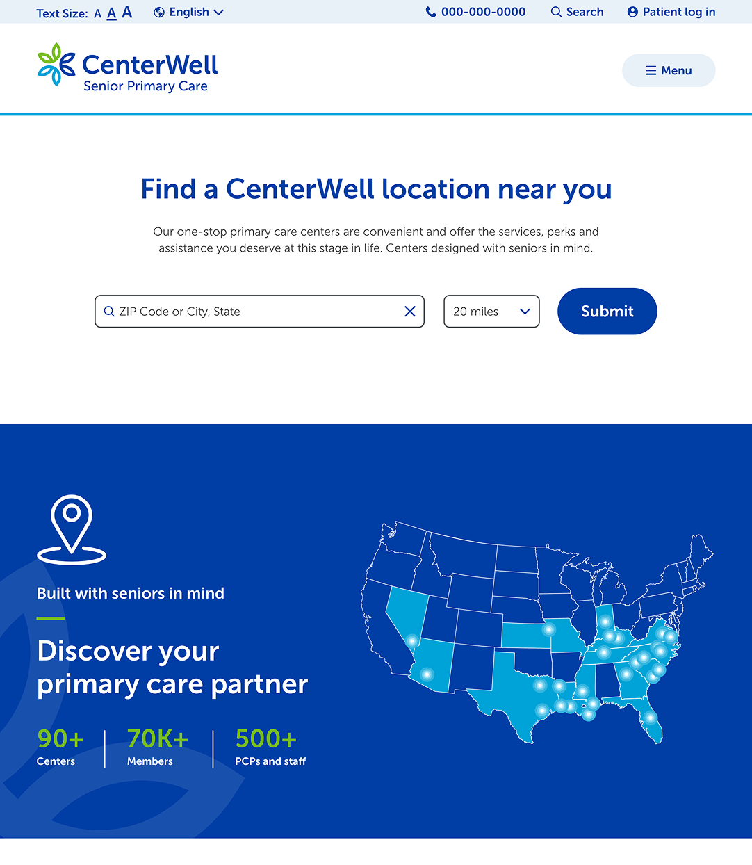
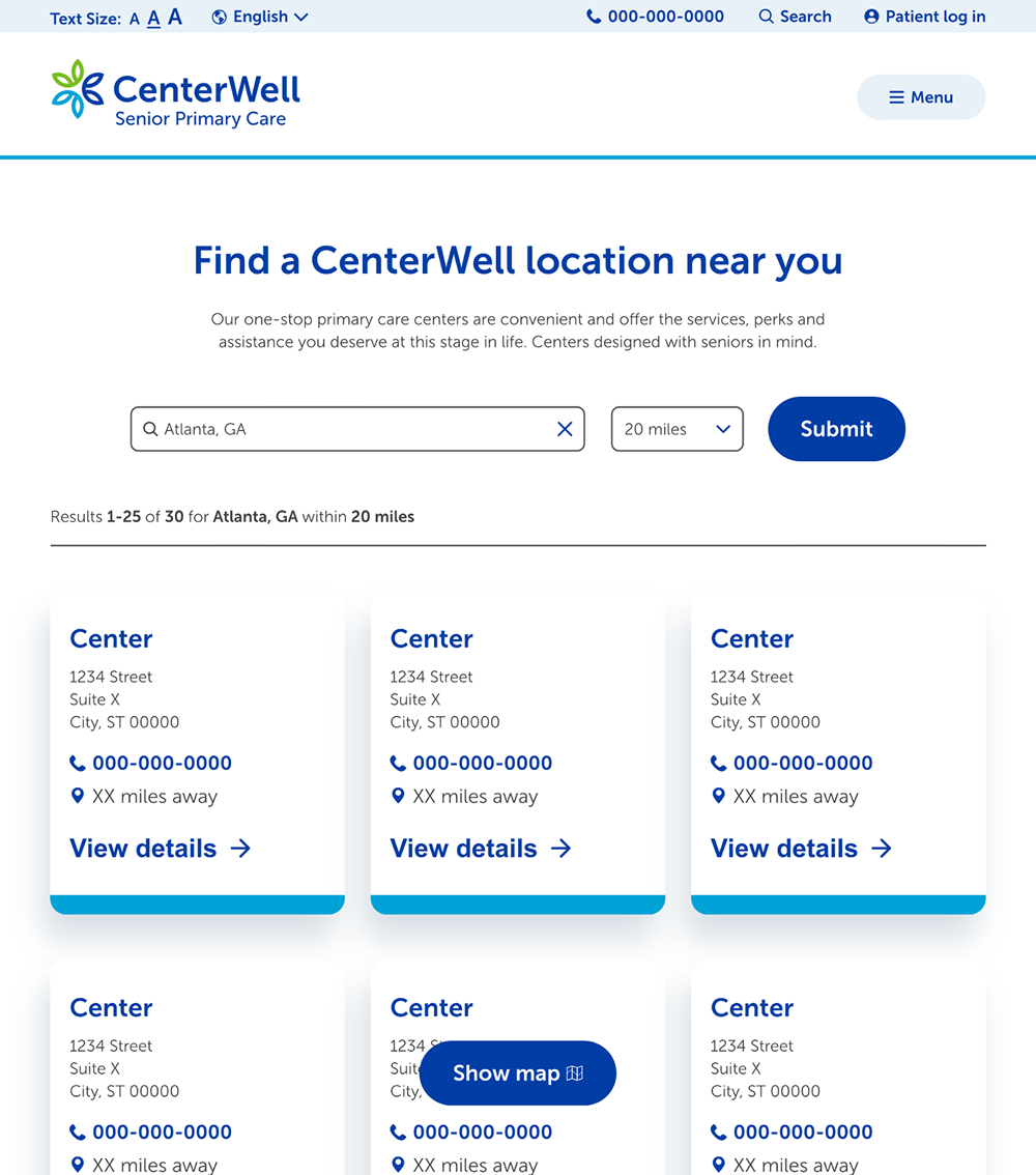
The first change we made was adding a distance filter into the initial search. We needed the map to appear with curated information once the search was submitted.
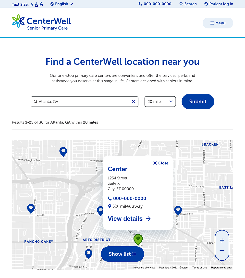
The map view loads by default, with a sticky button to switch to the list view if desired. All clinics in the selected mile area appeared as blue markers. Once the user clicked on a clinic, the marker swapped to green and the clinic info popped up. From here the user could go to the clinic details page or exit out and continue looking at clinic locations.
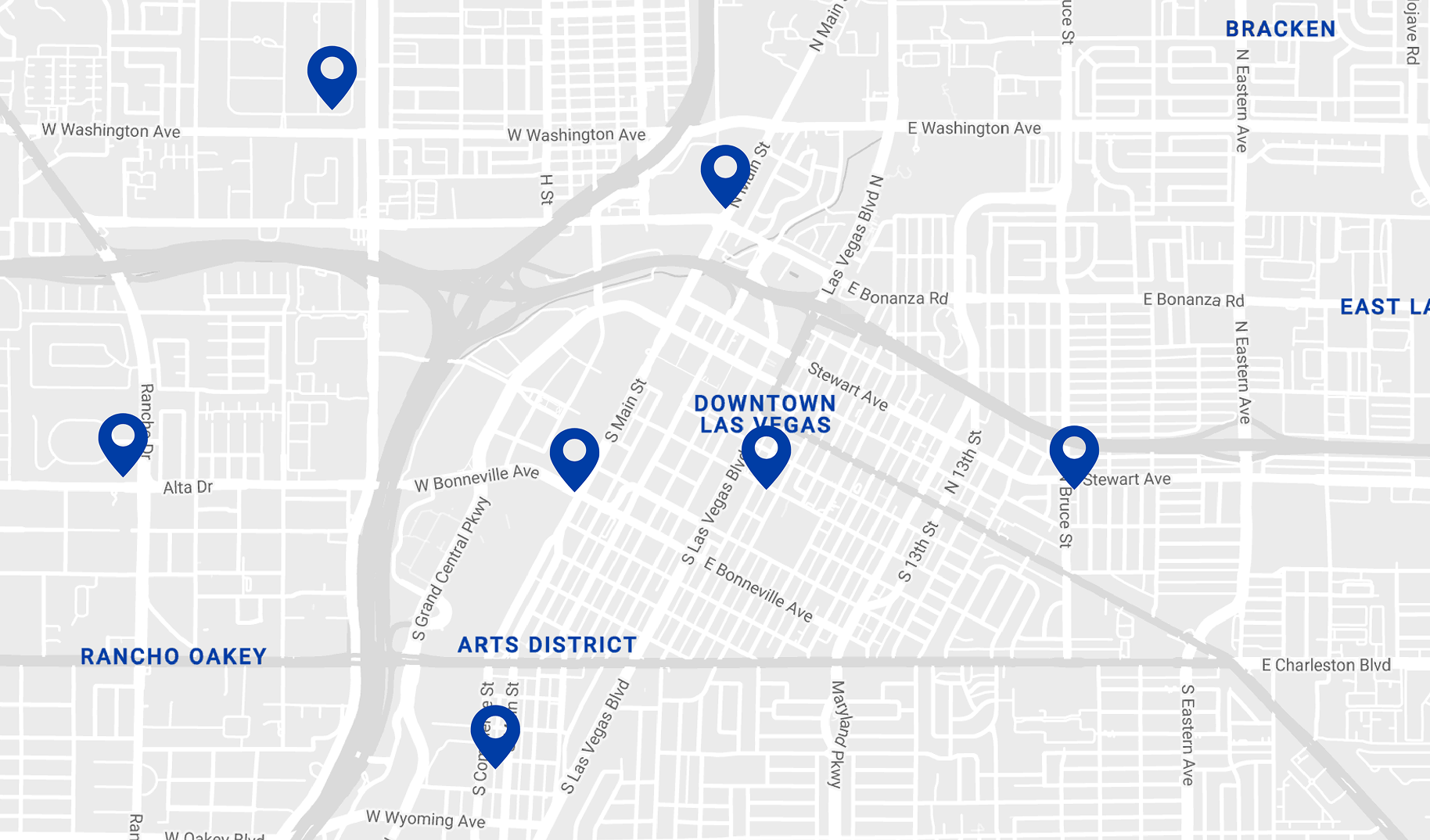
Because this interactive map was powered by Google Maps but housed within the CenterWell site, we wanted to edit the design of the map to be as close to the CenterWell brand as possible. We removed distracting information, altered the colors of the background map, roads, and road names. We wanted the entire experience to feel native to CenterWell but familiar to users who have used Google Maps.
